Specialists in geophysical data analysis for confident geological assessment
Deep Strike helps organisations extract clear, decision-ready insight from geophysical datasets — whether you’re reviewing legacy surveys or planning your next phase of work.
We focus on technical rigour, practical interpretation, and outputs that reduce uncertainty and maximise the value of your data investment.
WHAT WE DO
We make your data work.
Geophysical surveys and geological investigations are costly. Deep Strike was founded on a simple idea: we get the maximum possible value from every dataset — through robust QA/QC, modern interpretation methods, and clear reporting that supports real-world decisions.
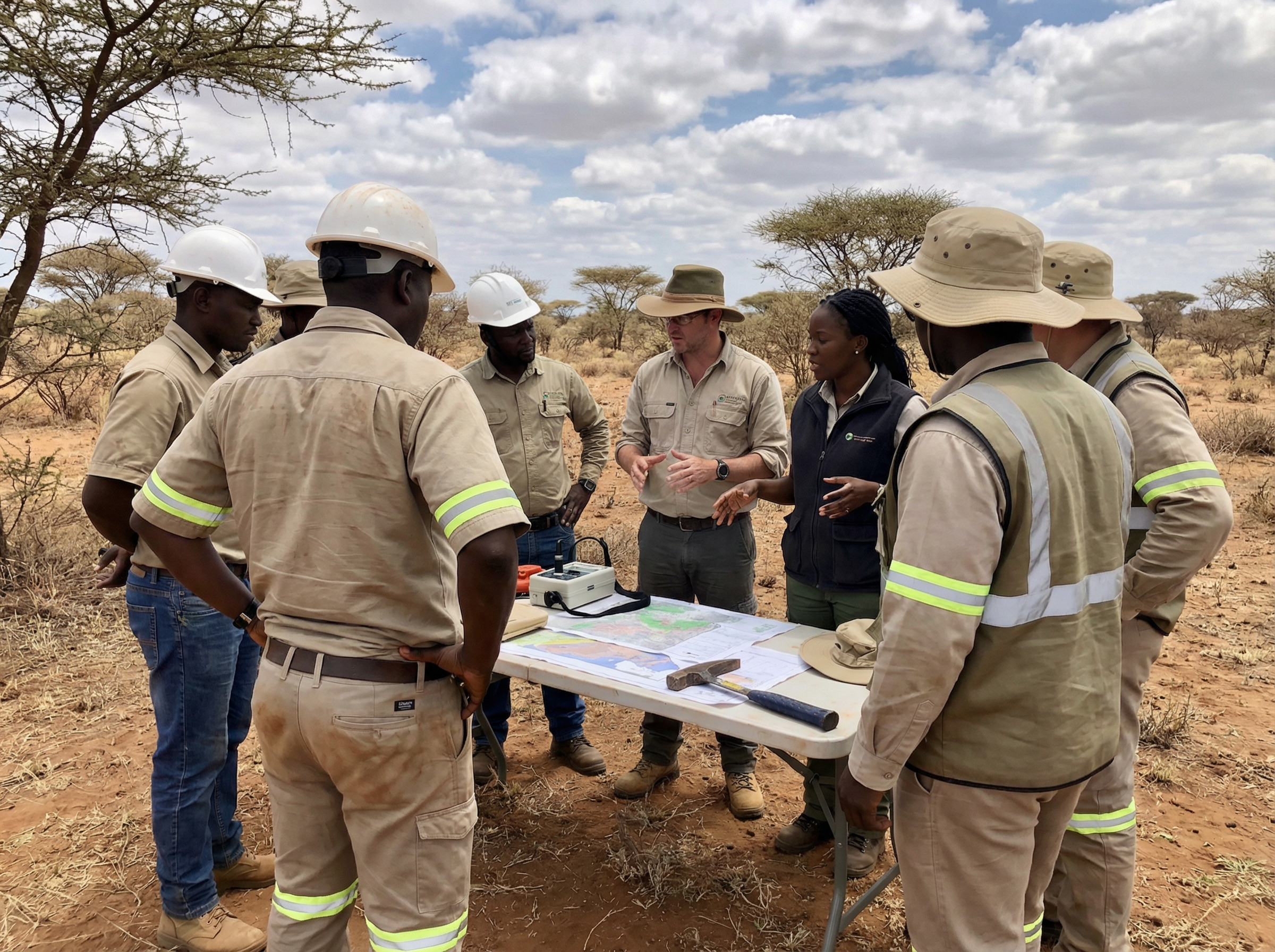
Our process
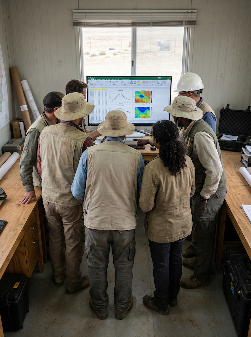
Independent review & QA/QC of acquired data and processing workflows
Interpretation & integration across datasets to build a coherent subsurface model
Decision-ready reporting with assumptions, uncertainties, and recommended next steps
WHY DEEP STRIKE
Senior-led. Technically grounded. Straightforward.
Specialist expertise in electrical and electromagnetic methods
Transparent workflows with clearly stated assumptions and limitations
Practical deliverables designed for project teams
Flexible resourcing through trusted specialist associates when needed
SERVICES
Deep Strike provides specialist support across geophysical survey design, data QA/QC, interpretation, and reporting—particularly for electrical and electromagnetic methods. Here is an overview of our core capabilities.
-
Induced Polarisation measures the subsurface electrical response to a transmitted current, producing resistivity and chargeability outputs. IP is widely used to map lithological contrasts, alteration systems, disseminated conductive phases, and structural controls - especially where resistivity and chargeability patterns together improve discrimination.
-
CSAMT uses a controlled transmitter and measures the subsurface electromagnetic response across audio frequencies to derive resistivity structure with depth. It is particularly effective for mapping major resistivity boundaries, conductive horizons, and structural corridors, and for building a deeper resistivity framework than many near-surface methods.
-
TDEM measures the decay of induced currents after transmitter shut-off to map conductivity variations with depth. It is a powerful method for identifying discrete conductors, conductive horizons, and conductivity contrasts - often providing strong guidance on geometry, depth trends, and continuity.
Not sure which method fits your task?
We can help you choose the simplest approach that answers the questions to your unique situation, and avoids unnecessary spend.
Contact us
Have a query? Get in touch.
Send us a brief outline of your objective and data, and we’ll advise on the most practical route - whether that’s IP, CSAMT, TDEM, or an independent review.